Global S&T Development Trend Analysis Platform of Resources and Environment
| Change in forecast for GPS signal data | |
| admin | |
| 2019-12-11 | |
| 发布年 | 2019 |
| 语种 | 英语 |
| 国家 | 澳大利亚 |
| 领域 | 地球科学 |
| 正文(英文) |
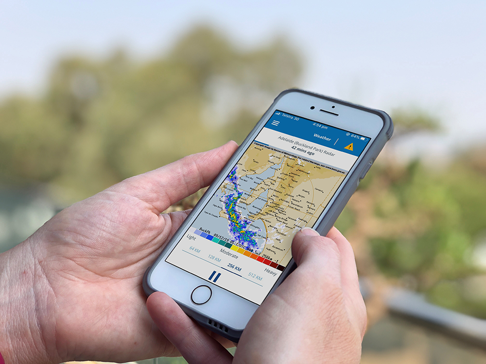
Data on the delay of Global Positioning System (GPS) signals reaching Australia is being used to help improve the accuracy of rainfall predictions. One of the challenges in predicting rainfall events is the lack of timely information about the amount of water vapour in the atmosphere. A collaboration between Geoscience Australia, the Bureau of Meteorology, FrontierSI, RMIT and AuScope has made it possible to use GPS signal data to calculate atmospheric water vapour in real time and in a consistent way across the Australian continent. The head of National Positioning Infrastructure branch at Geoscience Australia, Leesa Carson said including this data in weather forecasting models was an example of a geodetic scientist’s trash being a meteorologist’s treasure. “In real-time, Geoscience Australia collects data from more than 250 GPS receiving stations deployed across the country that enable our geodetic scientists to measure and monitor changes in the Australian continent with sub-millimetre accuracy,” Ms Carson said. “When analysing this data, we have to routinely correct for ‘noise’ that delays the GPS signal as it passes from the satellite, through the atmosphere, to the GPS station on the ground. “This ‘noise’ is actually atmospheric water vapour and the delay that we have to correct for can be converted into an estimate of water vapour in the path of the GPS signal.” Dr John Le Marshall from the Bureau of Meteorology said the consistent national coverage of the data was particularly valuable in a large and sparsely populated country like Australia. “Water vapour has traditionally been very difficult to measure, involving methods such as launching weather balloons for localised assessments,” Dr Le Marshall said. “Data on the delay of GPS signals is being collected and incorporated in Bureau of Meteorology weather forecasting models. It has been tested around Australia and is a promising advance towards more accurate rainfall predictions.” Ms Carson said innovations such as the inclusion of GPS signal data into weather forecasting are a return on investment for the Australian Government, which committed $224.9 million to Geoscience Australia’s Positioning Australia program in Budget 2018-19. “Without investment from the Australian Government, we would not have the geographical spread of GPS receiving stations or the reliable real-time streams of data needed for the Bureau of Meteorology to make the weather forecasting application operational,” Ms Carson said. The Positioning Australia program is delivering a national capability that will accelerate the adoption and development of location-based technology and applications. Funding of $160.9 million supports the development of an Australian Satellite-Based Augmentation System (SBAS), while a further $64 million is dedicated to upgrading Australia's ground network through the National Positioning Infrastructure Capability. More information about Positioning Australia program is available from the Geoscience Australia website.
|
| URL | 查看原文 |
| 来源平台 | Geoscience Australia |
| 文献类型 | 新闻 |
| 条目标识符 | http://119.78.100.173/C666/handle/2XK7JSWQ/217095 |
| 专题 | 地球科学 |
| 推荐引用方式 GB/T 7714 | admin. Change in forecast for GPS signal data. 2019. |
| 条目包含的文件 | 条目无相关文件。 | |||||
| 个性服务 |
| 推荐该条目 |
| 保存到收藏夹 |
| 查看访问统计 |
| 导出为Endnote文件 |
| 谷歌学术 |
| 谷歌学术中相似的文章 |
| [admin]的文章 |
| 百度学术 |
| 百度学术中相似的文章 |
| [admin]的文章 |
| 必应学术 |
| 必应学术中相似的文章 |
| [admin]的文章 |
| 相关权益政策 |
| 暂无数据 |
| 收藏/分享 |
除非特别说明,本系统中所有内容都受版权保护,并保留所有权利。


修改评论